About Peja
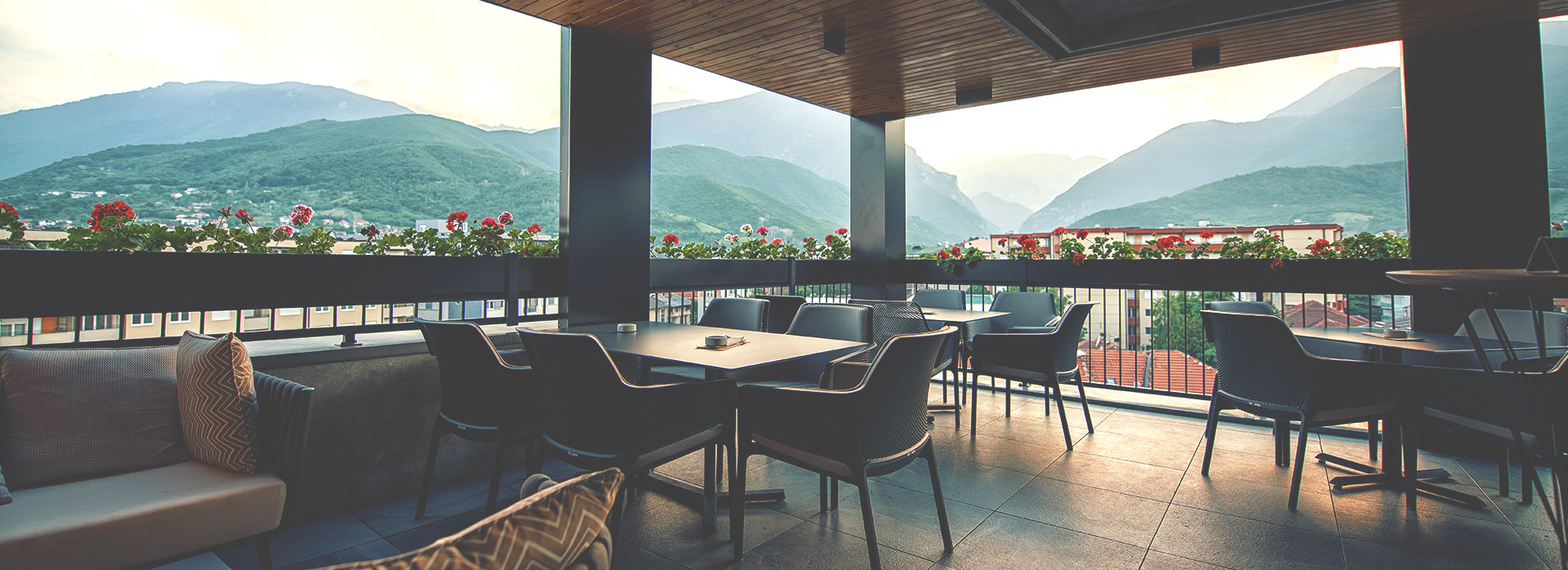
Peja has a rich cultural and historical inheritance being host to a UNESCO World Heritage Site, access to another one and surrounding by stunning nature. The city lies in the northwestern part of Kosovo, at the foot of Bjeshkët e Nemuna (the Accursed Mountains) and Rugova Canyon, between 42′ and 40′ parallels (north) and between 20′ and 18′ meridians (east). The municipality of Peja in total has a surface of 603 km2, while the urban part covers 20 km2. The altitude of the city is 521 m above sea level, and the highest peak is 2,522 m at Guri i Kuq (Red Stone) in Bjeshkët e Nemuna Mountains. Once you pass through Rugova Canyon, you will notice its beauty and undiscovered treasures. Peja lies on the banks of the Lumbardh River springing from Bjeshkët e Nemuna for 63 km, after which it joins the longest river in Kosovo, the Drini i Bardhë. The spring of Drini i Bardhë is also in Peja municipality, in the village Radavc, with attractive waterfalls.

